|
July 15, 2007, Sunday
A hike up San Gabriel Canyon
7:35 a.m. - Begin hike.
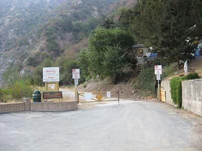
For years I had thought about strolling along Old San Gabriel Canyon Road that starts by the historic El Encanto Restaurant, but I always heeded the no-trespassing sign. In recent years the restaurant was sold and the property is now owned by the San Gabriel and Lower Los Angeles Rivers and Mountains Conservancy (RMC). Officials have said that the road is open for public use, regardless of what the sign says. So I decided to check it out.
|
|
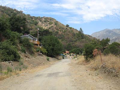
On the road
The road begins heading east before it rounds a bend to head north.
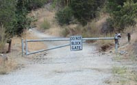
Around the bend and just past the entrance to the Buddhist facility stands this locked gate. Just moments before, I saw a coyote, but it disappeared before I could snap a pic.
|
|
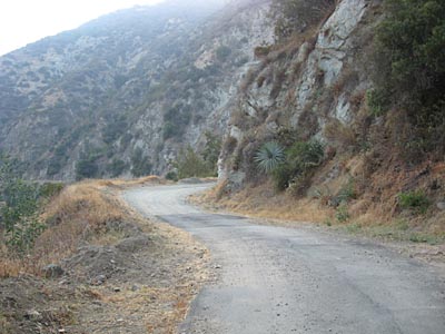
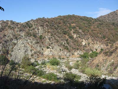
Looking north
Descending the road and looking ahead where the river bends to the east.
|
|
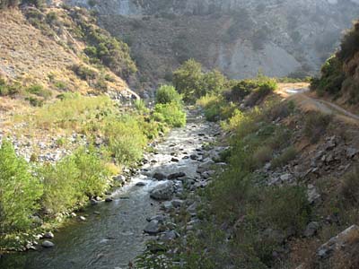
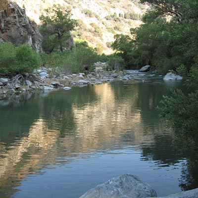
The mighty San Gabriel River
Actually, it's not really mighty, but it's our river, so we love it.
|
|
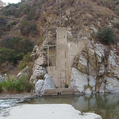
Gagging station
8:55
|
|
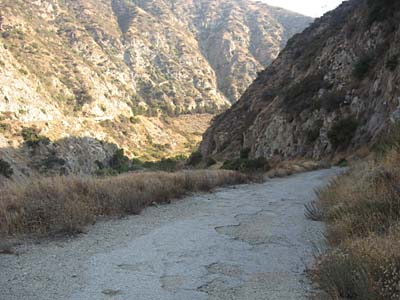
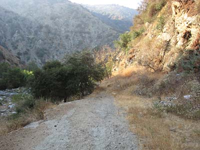
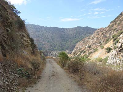
End of the road
About 50 yards beyond the gagging station. From here a narrow use path proceeds another few minutes, then the route turns into crawing over rocks and pressing through brush.
|

|
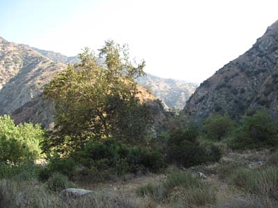
The route gets rougher
A Fremont cottonwood (Populus fremontii) enjoys the morning sun.

|
|
Looking north around the bend
|
|
End of the line
8:48 - This is as far as I go for today. The next time long pants and gaiters would be in order.
|
|
Looking back
8:56 - After going as far up the river as I wanted for this outing, I climbed about half way up a rock slide on the east canyon wall. This picture is looking back down canyon from where I came.
|
|
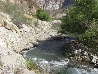
Water hazard
I had to pass by this pool by climbing along the rocks on the left, both coming and going. The water is deep here and running swiftly, so a fall could be serious.
|
|
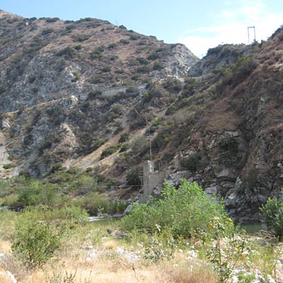
Hwy 39 high above
Another look at the gagging station, below.
|
|
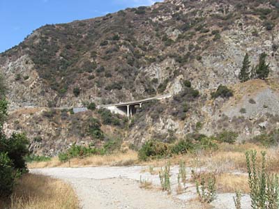
Hwy 39
Heading back, a bridge for Hwy 39 sits high on the west canyon wall.
Parts of Old San Gabriel Canyon Road I'm walking on still have pavement.
|
|
Heading south
Up ahead is the ridge along which Glendora Ridge Moterway runs. I've been up there many times on the trips up Garcia Trail.
|
|
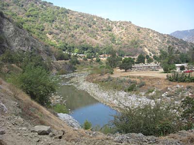
Nearing the end
Looking west today the El Encanto Park in the middle and the equestrian facilities on the right.
|
|
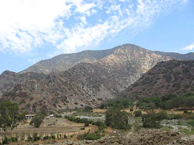
Looking back north toward 2843'
I've often contemplated climbing that ridge to Summit 2843'. I've climbed that peak from two other directions, but this ridge from the south has always called to me.
|
|
The end is in sight
The mobile homes on the left will be leaving as part of the park development.
9:55 - I finished the hike. It was only about 3 miles round trip, but a fun way to spend an early Sunday morning. I've driven up Hwy 39 many times, but this was the first time I experienced the canyon from the bottom. 
|
 Dan's Hiking Blog: El Encanto Trail Hike - June 12, 2011 - Featuring 9 plants
Back to Photos index
|